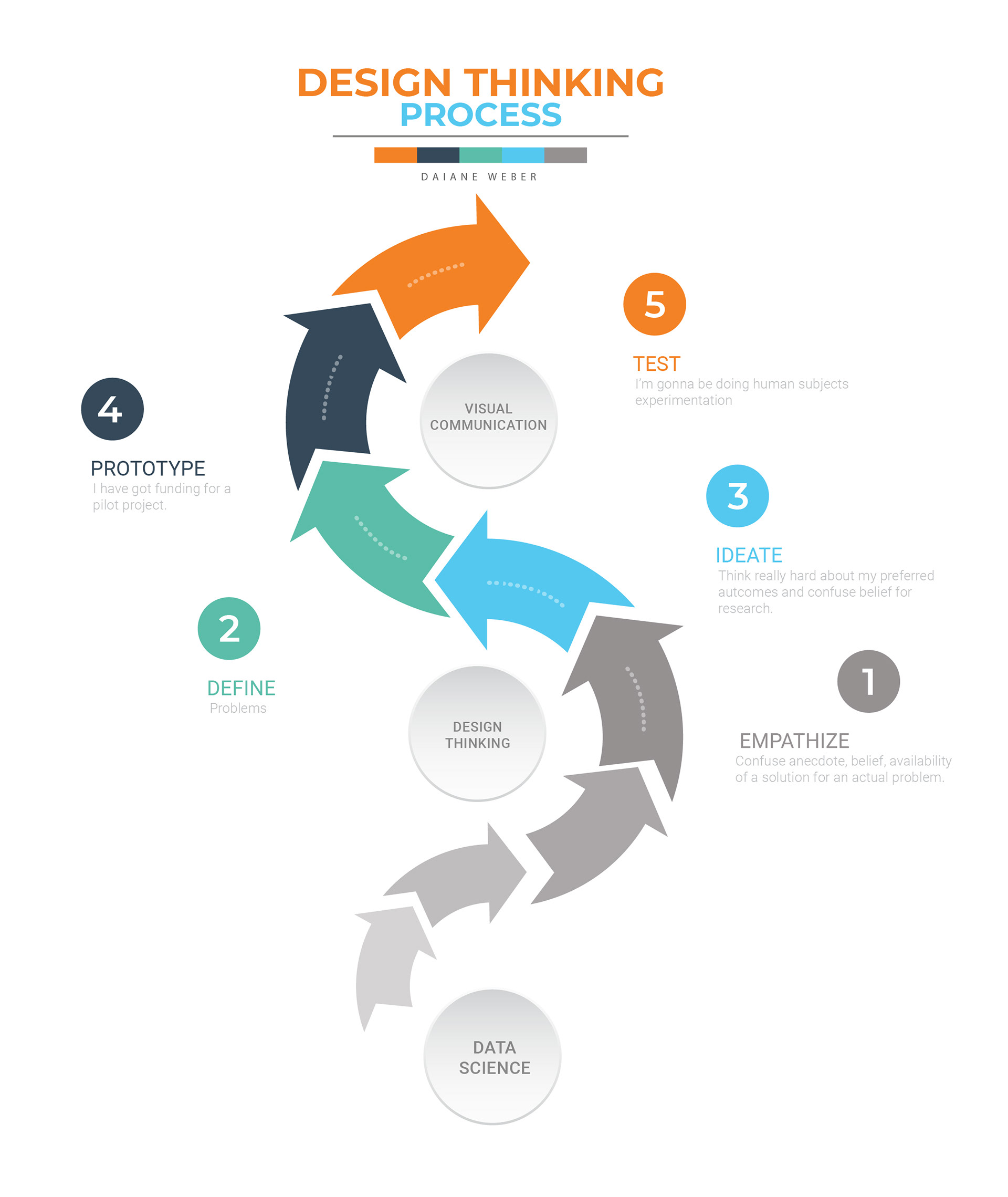
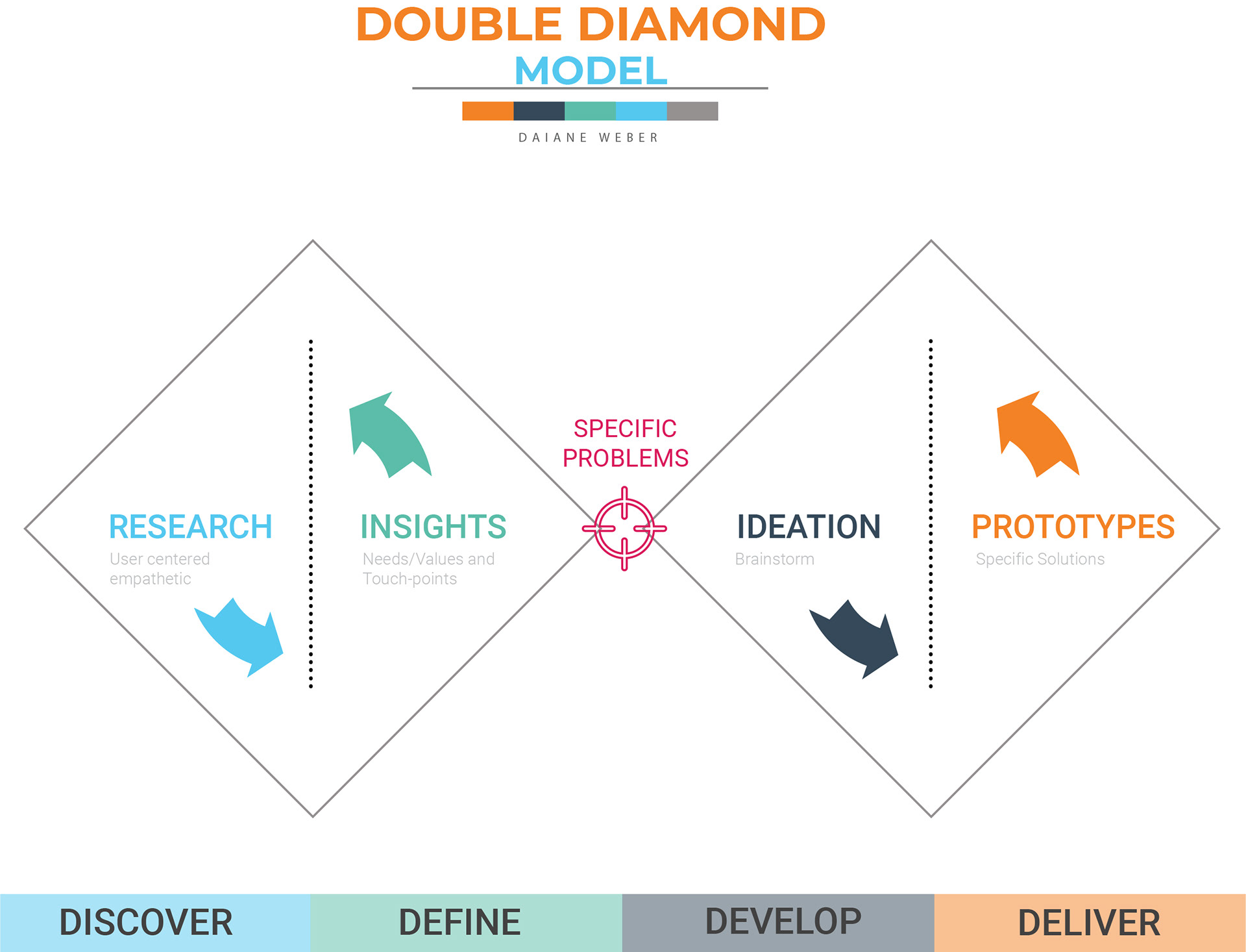
Through methods used in Design, such as Diamond Model, Centered Human, Design Thinking Process and others, the work aimed to clarify the message in the communication process of scientific areas.
During the processes of ideation, (re)framing and prototyping, scientific elements from the National Institute for Space Research (INPE) on the evolution of Brazilian fires were collected and transformed into a 3D animation video.
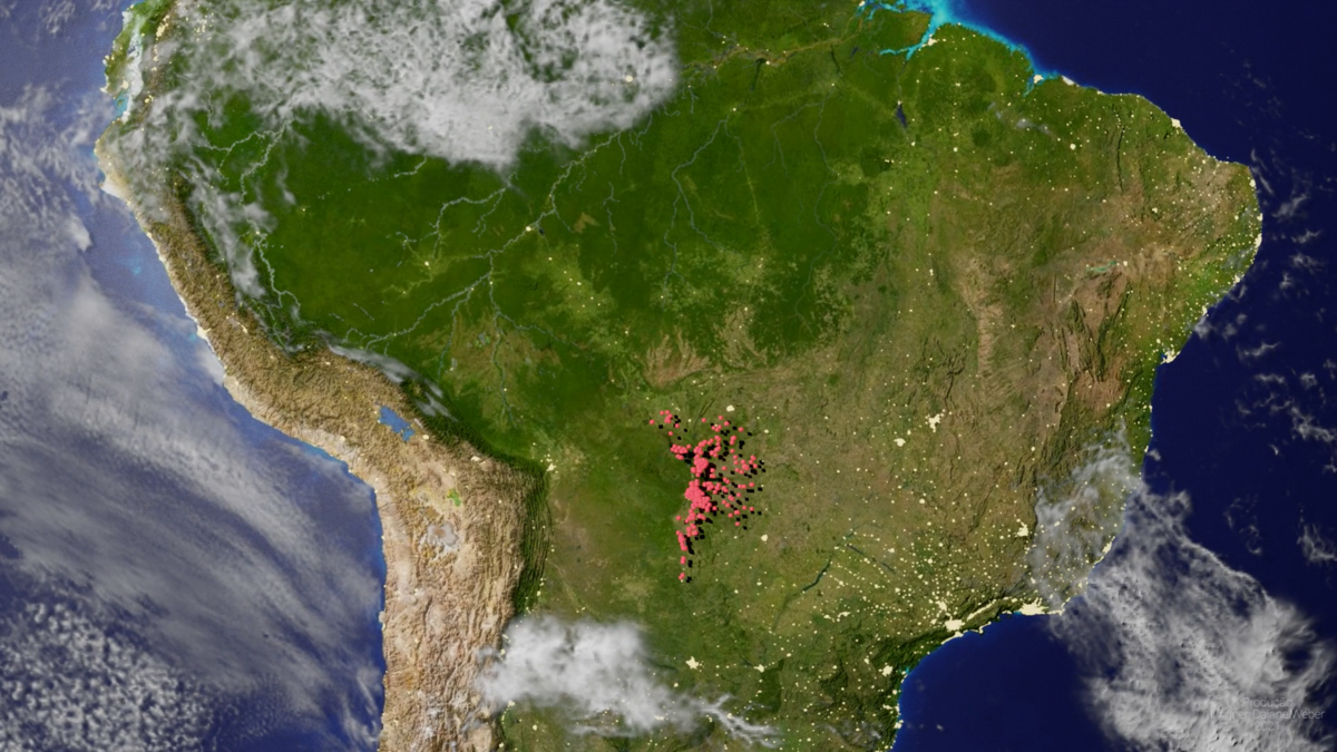
Information on fire outbreaks in the Pantanal and Amazon Biomes in 2020 was mainly addressed through visual reproduction.
Iterative Process
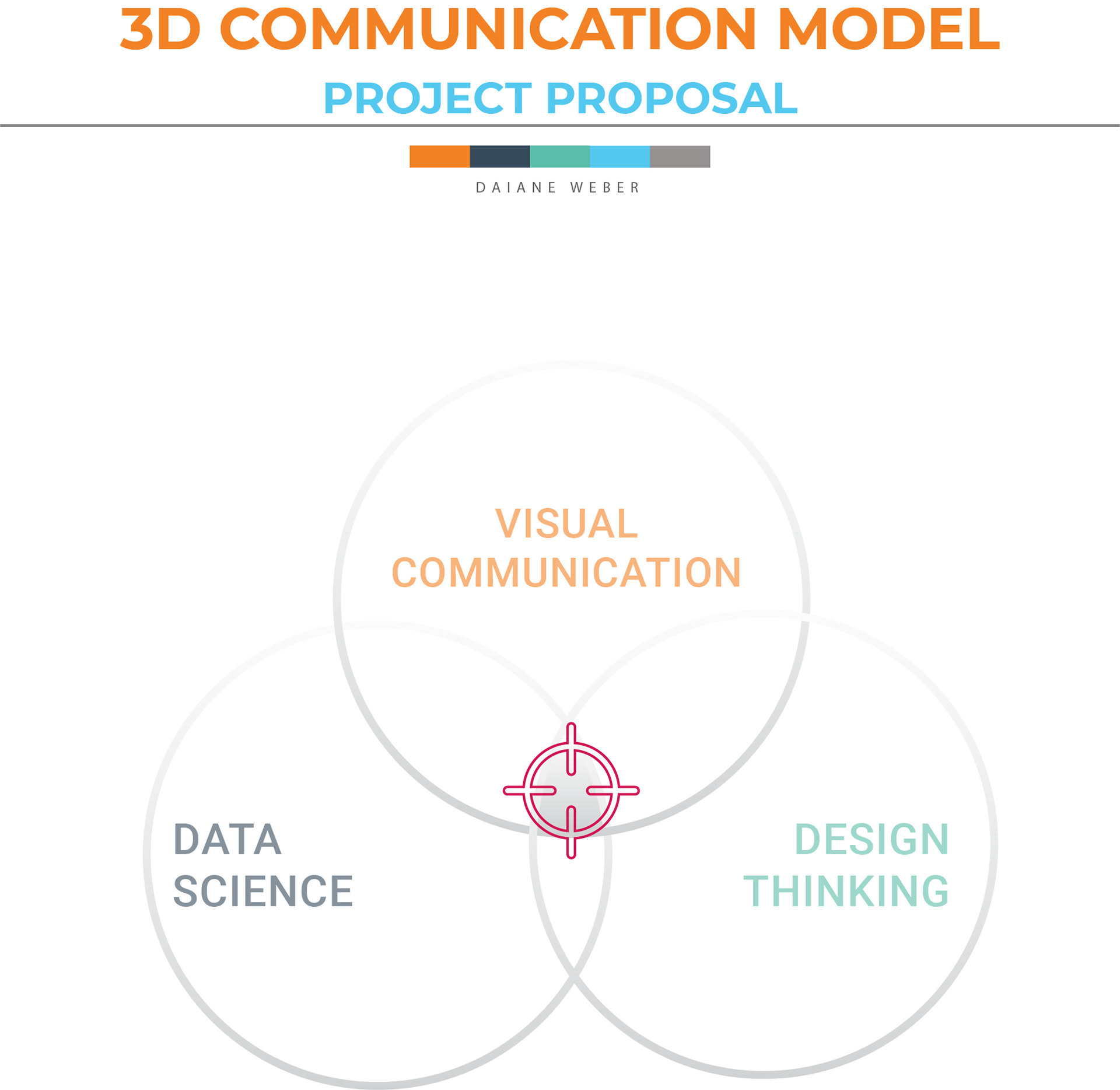
Combination of areas: data science, design (design thinking), visual communication.
For this study, two groups/audiences were established: the general public with a non-technical profile and active members in academia (researchers and masters and doctoral students).
The surveys were conducted from November 20 to 29, 2020, and had 168 people, including Brazil, France, India, Canada, Belgium, Israel, Mexico, Qatar and Thailand.
Implementing what is proposed in this study will allow it to observe elements such as coordinates and geographic elevations and suggest a new approach to thinking about something already present (three-dimensional video).
For the creation and editing of this product, the Blender open-source modelling system was chosen. The preference for the Software was due to the easy interface and the possibility of interacting with the code in Python (the programming language used when importing data extracted from INPE).

3D Modelling Mockup
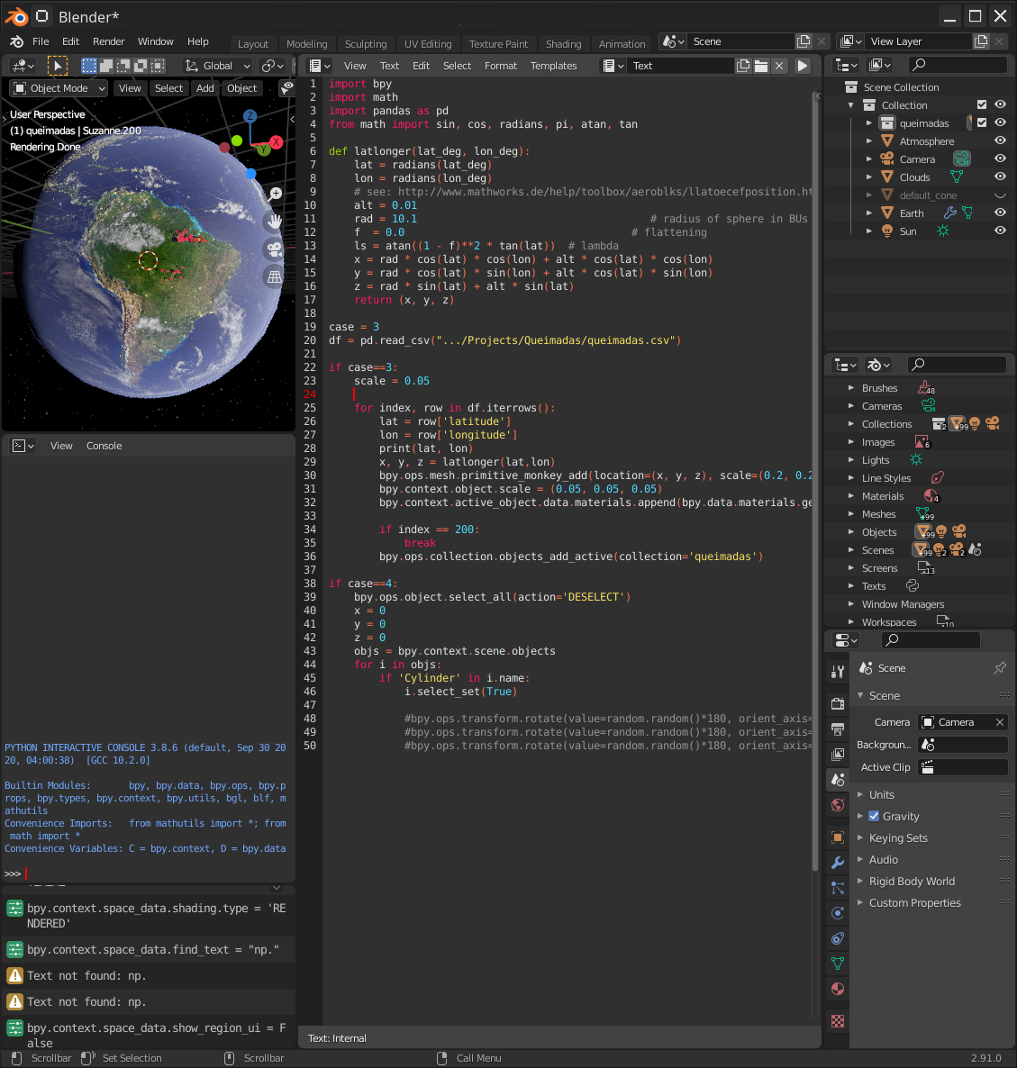
Blender Programming
3D Modelling Mockup

3D Modelling Mockup

Amazon, BR
To correctly position fire spots on the map, as the data is imported, the geographic coordinates are converted to Cartesian x, y and z with equation 1.
In this equation, the variables latitude and longitude correspond to latitude and longitude, respectively and rs o radius of the earth, in our case, the radius of the modelled object (planet).
It is noteworthy that only information from the Amazon and Pantanal biomes was included from the AQUA MT–INPE satellite.

Equation for converting geographic coordinates into Cartesian coordinates
Given the data produced so far, it is important to emphasize that the video produced in this work is informative and not educational.
Concerning production, it is also noteworthy that the content is not about data visualization but understanding and interpretation.
Finally, it is worth mentioning that all numbers presented in the animation are real data extracted and made available on INPE's website.
The visual prototype can be seen on the side.
Video proposal: 3D Communication Model